Impact of Covid-19 on Urban Heat Island (UHI) of Assaluyeh Industrial Zone with Landsat 8 series of images

The impact of Covid-18 during, before and after the epidemic in western Assaluyeh (industrial area) is shown in the UHI map prepared from Landsat 8 images.

GIScience webinar in the occasion of GIS-day will be held in 17 November 2021.

GIScience webinar in the occasion of GIS-day will be held in 17 November 2021.

Remote Sensing webinar with Azerbaijan National Academy of Science (Part 2)

In November 2021, the head of the RSLUT, Dr. Sadra Karimzadeh held a webinar for Institute of Geography of Azerbaijan National Academy of Science. Dr. Karimzadeh explained various applications of synthetic aperture radar (SAR) remote sensing such as: building damages after earthquakes, water pollution, etc.

Remote Sensing webinar with Azerbaijan National Academy of Science (Part 1)


In October 2021, RSLUT member Prof. Khalil Valizadeh held a webinar for Institute of Geography of Azerbaijan National Academy of Science. Prof. Valizadeh explained various applications of multi-spectral and thermal image analysis for different purposes.

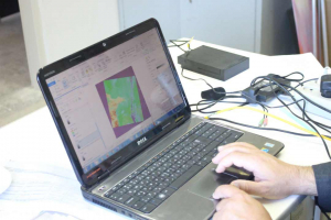
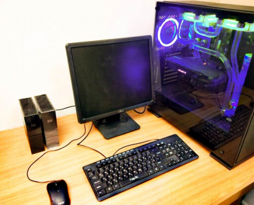
A high-performance computer system (workstation) for various remote sensing analyses is available in our laboratory. The workstation benefits from a 9th generation i9 CPU. Detailed information is as follows:

Processor: Intel® Core™ i9-9900K

Number of cores: i9 9th Gen

CPU: @ 5.00 GHz

Installed memory (RAM): 64 GB

Operating System (OS) type: 64 – bit Win 10 and Linux Ubuntu

Graphics: GigaByte1660 Ti

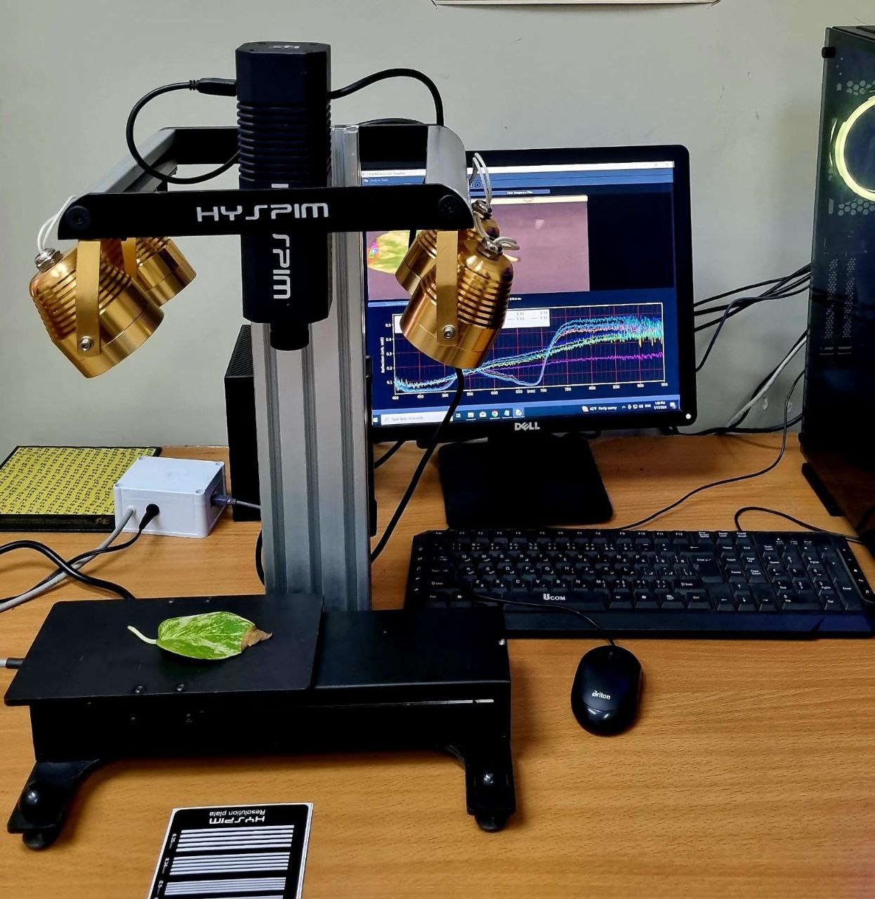
A hyperspectral imager (HYSPIM) with a linear and angular scanners is also available in our laboratory. The spectral range for this device is from 400 nm to 950 nm.

Initial interferogram of Japan’s northwestern Chiba earthquake (M 6.1)

Initial interferogram of Japan’s northwestern Chiba earthquake (M 6.1). Sentinel-1 orbit 141 covers some parts of eastern coast of Japan. Some atmospheric effects can be observed in the results.

2. Ghasemi, M., Karimzadeh, S., Matsuoka, M., Feizizadeh, B., 2021. What Would Happen if the M 7.3 (1721) and M 7.4 (1780) Historical Earthquakes of Tabriz City (NW Iran) Occurred Again in 2021?, ISPRS International Journal of Geo-Information, MDPI, 10, 657.

1. Omarzadeh, D., Karimzadeh, S., Matsuoka, M., Feizizadeh, B., 2021. Earthquake Aftermath from Very High-Resolution WorldView-2 Image and Semi-automated Object-Based Image Analysis, Remote Sensing MDPI, 13(21),4272.